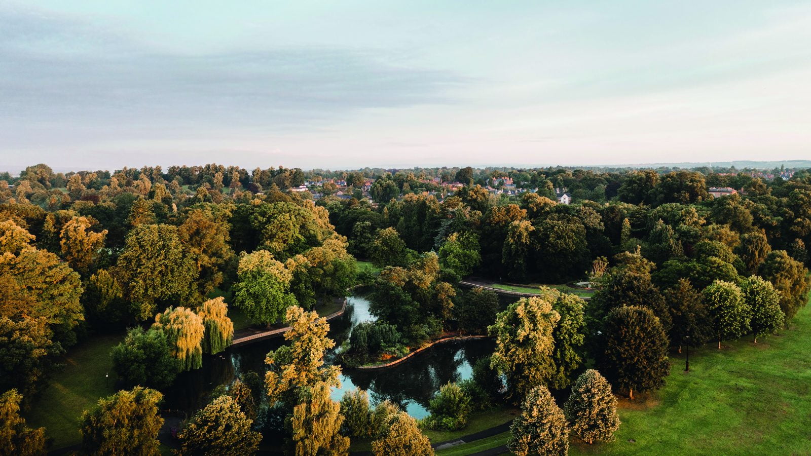
Welcome to Tees Valley
We’re creating jobs, driving investment and transforming Tees Valley – where anything is possible.
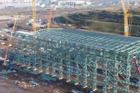
Net Zero
We’re helping create the jobs of the future in clean energy, offshore and more at Teesworks.
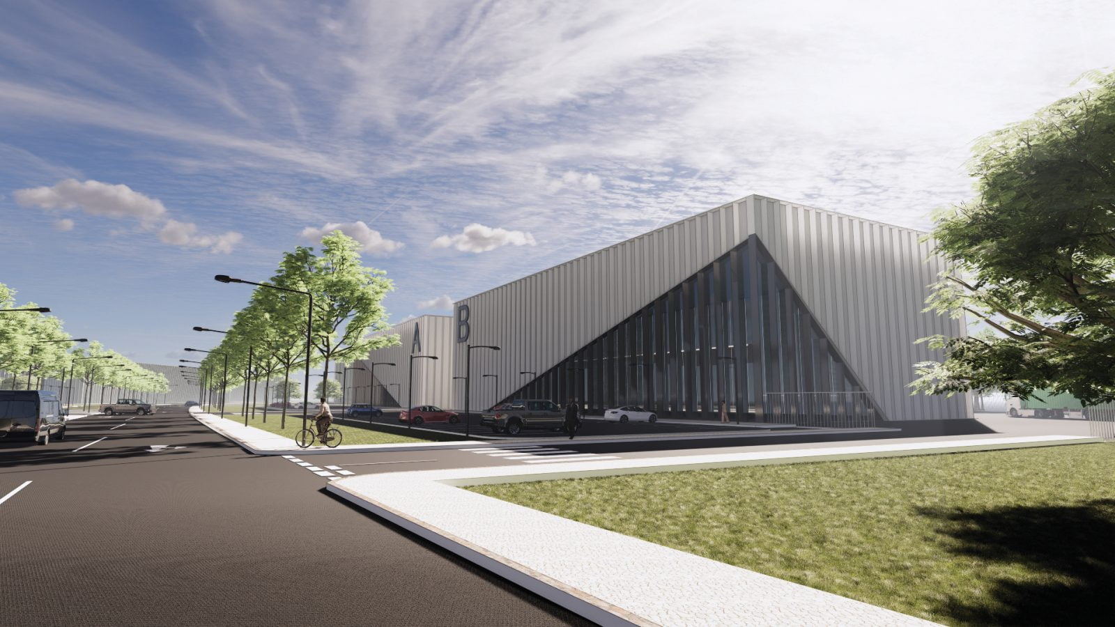
Teesside Airport Business Park
Teesside Airport’s £200milllion Business Park is taking off – find out how firms can get involved.